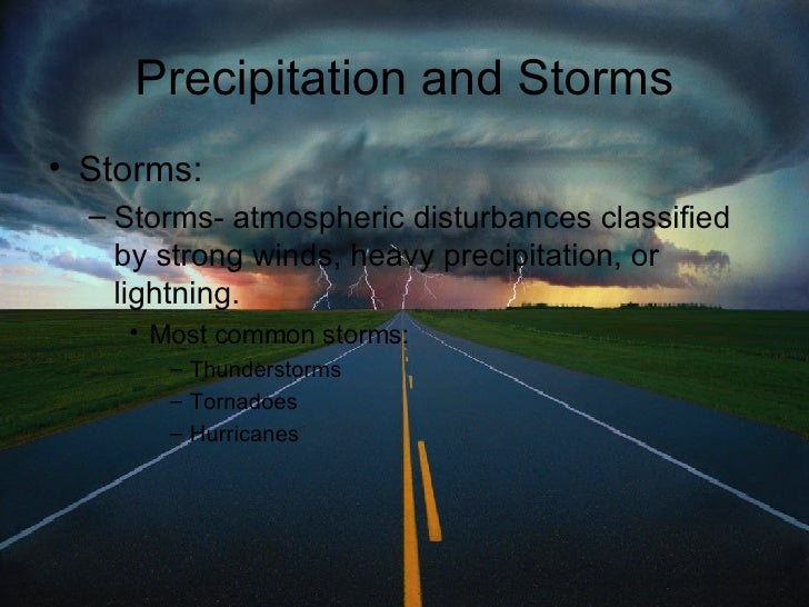
Some other ways of studying the Tornado, Storms, Hurricanes
 2.
2.Lightning-
Lightning is an abrupt discharge of electricity through the airLightning occurs when large amount of static electricity build up in cumulonimbus clouds (perhaps because of friction between ice crystals) The cloud has a different charge from the ground and opposite charges attract Air insults the two charges (keeps them apart)
A stream of electrons (negative charged particles) goes from cloud to ground in a jerky pattern- this is called a stepped leader. A positive stream of atoms reaches up to meet the stepped leader (usually from the tallest object around) Return Stroke- (Positive and Negative meet)- electrons flow downward in a mighty current from cloud to ground
Lightning releases massive amounts of electricity and heats the surrounding air Thunder- is a result of lightning heating the air Thunder- is the explosive shockwave of sound from the rapidly expanding air
Cloud to Ground Lightning: moves from cloud to ground Cloud to Cloud Lightning: moves from cloud to cloud Ground to Cloud Lightning: moves from ground to cloud Heat Lightning: in summer when lightning from high altitude clouds is reflected over the horizon Ball Lightning: rare phenomenon- incandescent sphere of electricity that floats in the air (not well understood) Superbolt- Rare positive cloud to ground lightning Hot Lightning: steady streams of electricity not a series of pulses (usually catches what it strikes on fire)
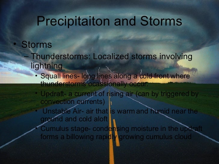
Tornado-
Narrow funnel of rapidly whirling winds Smallest but most violent storms Make a distinctive roaring, hissing noise Tornado Formation: Tornado Alley- Mississippi Valley and Eastern Great Plains has the most tornadoes Formed when: a low pressure system where a mass of cold dry air clashes with a mass of warm, moist air
Tornado Dangers: The wind is the most dangerous thing in a tornado Wind can be from 20 -150 mph Tornadoes are unpredictable Tornado Cousins Waterspouts- tornado over water (weaker) Dust Devil- small funnel-like winds (winds up to 45 mph)
Hurricanes:
Hurricane- giant whirling storms accompanied by destructive winds, torrential rains, high waves and tides. Winds can be 74-200 mph Scientific Name for Hurricane: Tropical Cyclone
Other names for hurricanes:
Typhoons Willy-Willies Baguios Cyclones
How Hurricanes Form: Need 2 Things Warm Oceans Strong Coriolis
Hurricanes Start with tropical disturbance Tropical Disturbance: a thunderstorm over a tropical sea Tropical Depression: when enough warm air (“fuel”) has been added and the rotating winds reach a sustained 23 mph Tropical Storm: when winds reach 39 mph (it is given a name at this point) Hurricane- when winds reach 74 mph
Hurricanes: Categories: 1= weakest 2= weak 3= This is a major hurricane 4= Strong hurricane 5= Strongest hurricane ever recorded
Hurricane Structure: Eye: Center of the hurricane- a region of low pressure Eye Wall: the cylinder of thick whirling clouds and rain that surround the eye Rain Bands: lines of thunderstorms at lower altitudes
Hurricanes stay strong if over water, but once they hit land they weaken Dangers of Hurricane: Winds Floods- winds and low pressure push water towards land Storm Surge- elevated water levels due to low pressure and winds